C Level Cirque Hike: Up Close and Personal with Canadian Rockies History and Geology
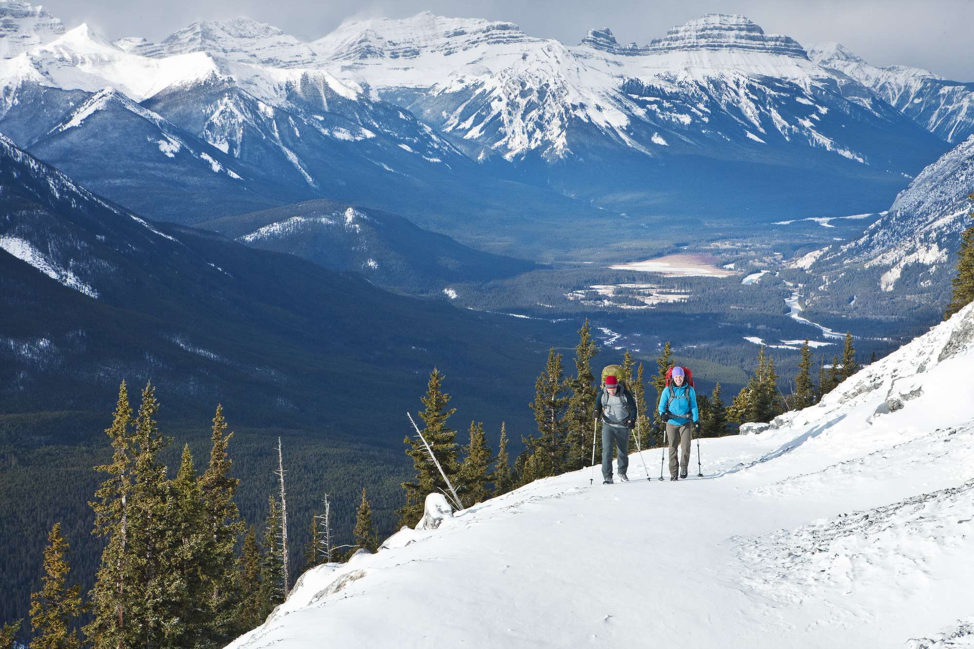
 This trail is popular with both history buffs and nature lovers; it provides access to some of the mining history of the Canadian Rockies, as well as scenic views of Lake Minnewanka, an alpine lake that lies just a few kilometers northeast of Banff town.
![]() The trail begins its climb through pleasant mountain forests and meadows before reaching the town of Bankhead – we should say, “former town” of Bankhead, where there isn’t much but the remains of the anthracite coal mining operation – buildings from the “C Level operation” — that existed here from 1904 to 1922. The town itself was laid out in the valley below. The coal seam worked here was the highest on the eastern slope of Cascade Mountain.
The trail begins its climb through pleasant mountain forests and meadows before reaching the town of Bankhead – we should say, “former town” of Bankhead, where there isn’t much but the remains of the anthracite coal mining operation – buildings from the “C Level operation” — that existed here from 1904 to 1922. The town itself was laid out in the valley below. The coal seam worked here was the highest on the eastern slope of Cascade Mountain.
It is at this spot where the mining operations once took place that one can take in views of Lake Minnewanka below. As the trail continues to climb past this spot, hikers will pass several fenced in holes in the ground; these are vent holes from the mine shafts below ground. As you climb you will enjoy views of nearby peaks, such as Mount Rundle, as well as Bow Valley.

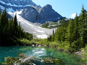
The trail continues on until it reaches the cirque. What’s a cirque you ask (unless, perhaps you speak French)?
It is a bowl-shaped depression created by a glacier in the mountains. While the glacier that created the C Level Cirque is no longer there, we should note that snow can often be found in the cirque well into mid summer. The soil here is rich, and in late summer one can spy the yellow lilies commonly associated with glaciers in this region.
To get to the C Level Cirque, take the Trans-Canada Highway to the Banff East Exit interchange, follow the Lake Minnewanka Road to the Upper Bankhead Picnic Area. The trail begins at the far end of the picnic area parking lot.
click here for
Yamnuska Mountain Adventures200 – 50 Lincoln Park |
 |
|---|---|
click here for
Banff Travelcall toll free: 888-659-3394 211 Bear Street |
 |
